NAMIBIA 06/07-1998
| BACK | Ó Copyright:
G du Preez e-mail: dPreezG@NetActive.co.za |
Fuel used: 952 liter @ 12.62 liter/100km
Fuel cost: R1984
Accommodation cost: R1301
Admittance fees: R 344
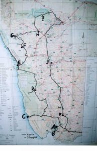
A.
Hobas (29/06/98),
B. Ai-Ais (30/06/98),
C. Luderitz (1-2/07/98),
D. Sesriem (3-4/07/98),
E. Mile 4 (Swakopmund) (5-7/07/98),
F. Uis (08/07/98),
G. Aba-Huab (09/07/98),
H. Outjo (10/07/98),
I. Halali (11-12/07/98),
J. Windhoek (13-14/07/98),
K. Keetmanshoop (15/07/98)
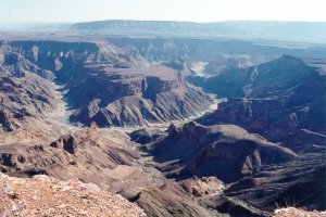
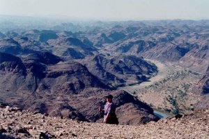
The 500 m deep canyon as seen from the main viewpoint near Hobas. The start of the 5 day hiking trail is near the upper right hand corner of the picture.
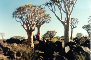
A Quiver tree on the edge of the canyon.

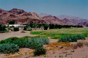
Ai-Ais with it's hot springs is at the end of the five day hiking trail.
Climbing the canyon edge at Ai-Ais.
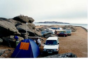
The caravan park on Shark Island.
The Diaz cross at Luderitz.
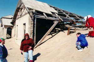
Kolmanskop, a once flourishing diamond mining town taken over by the Namib desert.
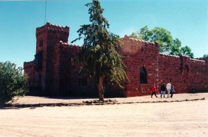
Duwisib Castle was built by Baron Hans Heinrich von Wolf at the beginning of the 20th century.
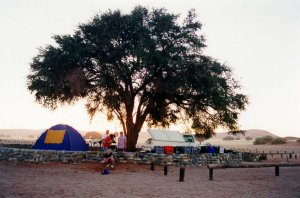
Each camping site has it's own Camelthorn tree, tap and stone wall. The dunes of the Namib is in the background.
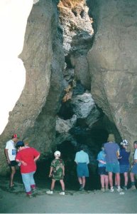
Next to a pool of water inside the canyon. The name of the canyon comes from the six ox-thongs that were used by early settlers to extract water from the canyon.
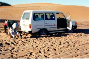
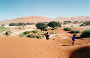
Bogged down in the sand at Sossusvlei, 70 km from Sesriem. A 5 km walk from the parking area to the vlei if you don't have a 4x4.
At Sossusvlei.
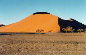
Dune 45, 45 km from Sesriem on the road to Sossusvlei.
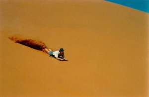
Dune-boarding on Dune 45. We used 1200 mm x 600 mm x 4 mm hardboard. Don't use thinner hardboard. It will break.
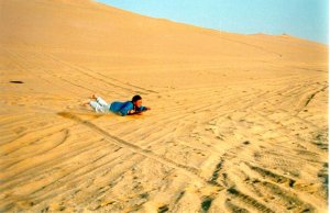
Dune-boarding on the dunes between Swakopmund and Walvisbaai. Be warned - it is dangerous! Maatje (in the picture) carried on for 11 m after her board got stuck in the sand!
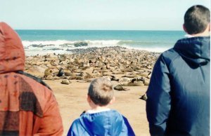
80 000 stinking Cape Fur Seals at the place where Diego Cao planted a cross more than 500 years ago.
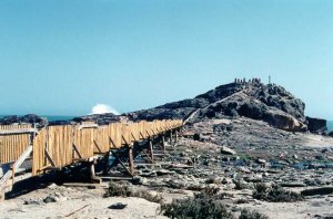
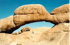
The "bridge". Camping sites are km's from each other.
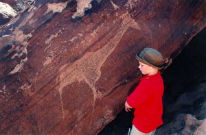
Near the town of "Uis". The famous "Witvrou" rock painting, a Bushman painting once thought to be the painting of a white women.

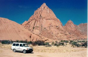
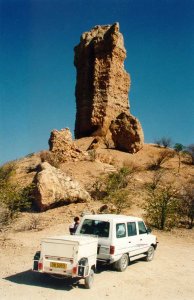
The colour of the rock causes it to appear "burnt".
2500 engravings and Bushman paintings up to 3600 years old.
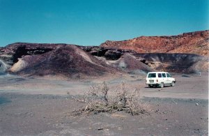
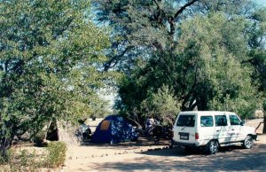
A camping site in a wilderness area near the Burnt Mountain and Twyfelfontein.
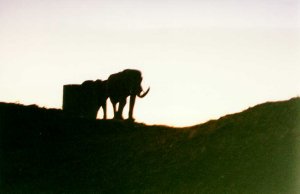
Elephant visited us late evening. The camp site is not fenced. This picture was taken from about 20 m. They drank from the tank which provides the camp with drinking water.
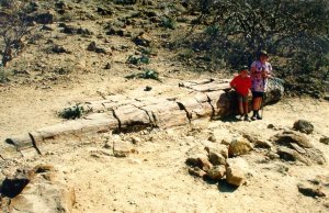
On road from Aba-Huab to Khorixas. Hundreds of petrified trees lie around.
Off the road from Khorixas to Outjo.
This ant-hill is approximately 4 m high.

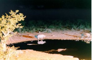
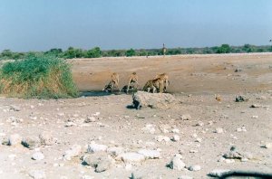
A white rhinoceros and some lions at the water-hole at Halali rest camp.
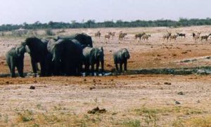
Elephant and kudu at the Aroe waterhole.
Giraffe at the Chudop water hole.
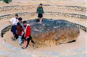
The Hoba meteorite is the biggest known meteorite on earth.
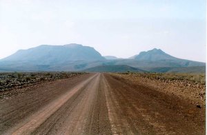
On road to Brukkaros 80 km north of Keetmanshoop, an extinct volcano.
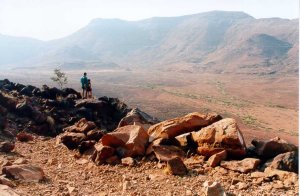
The huge crater of the volcano.
The Quiver tree forest.